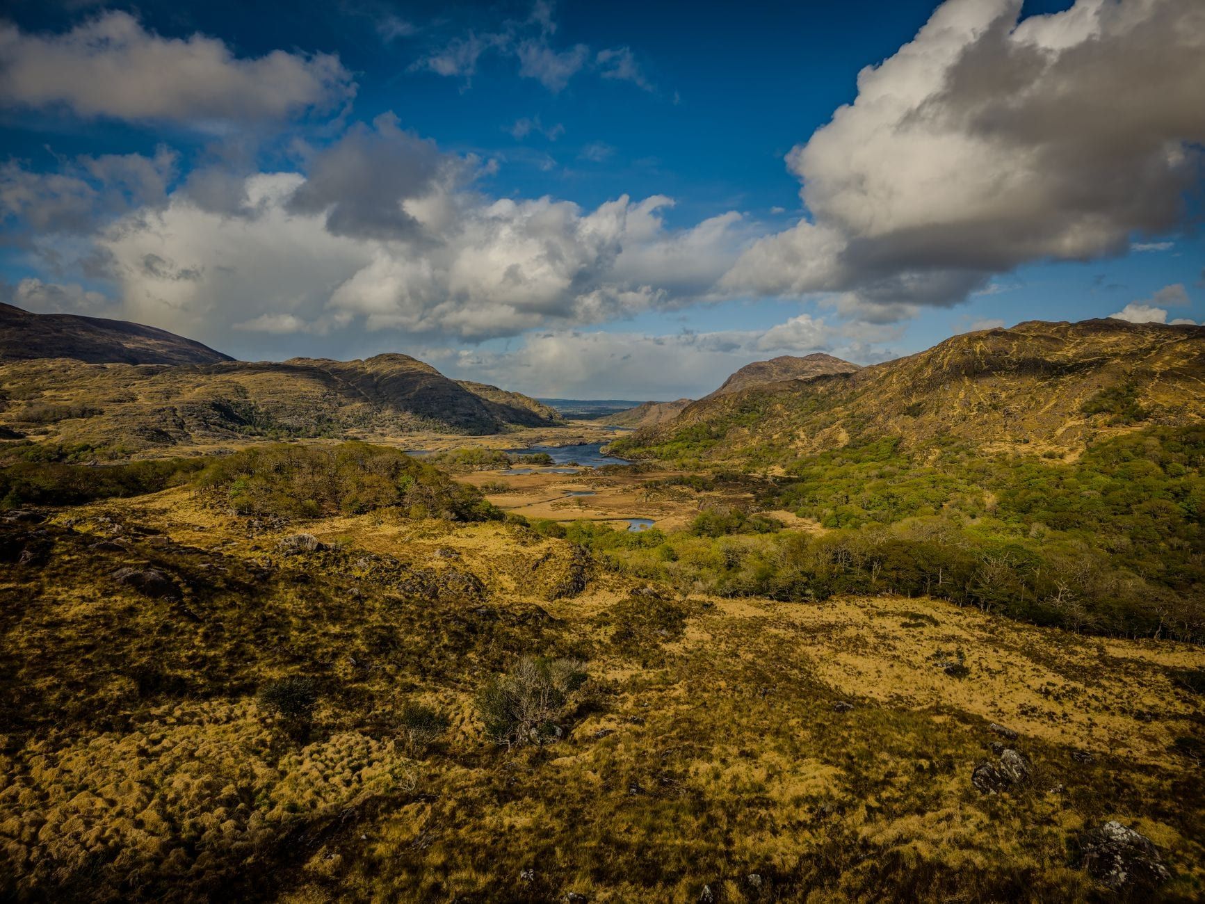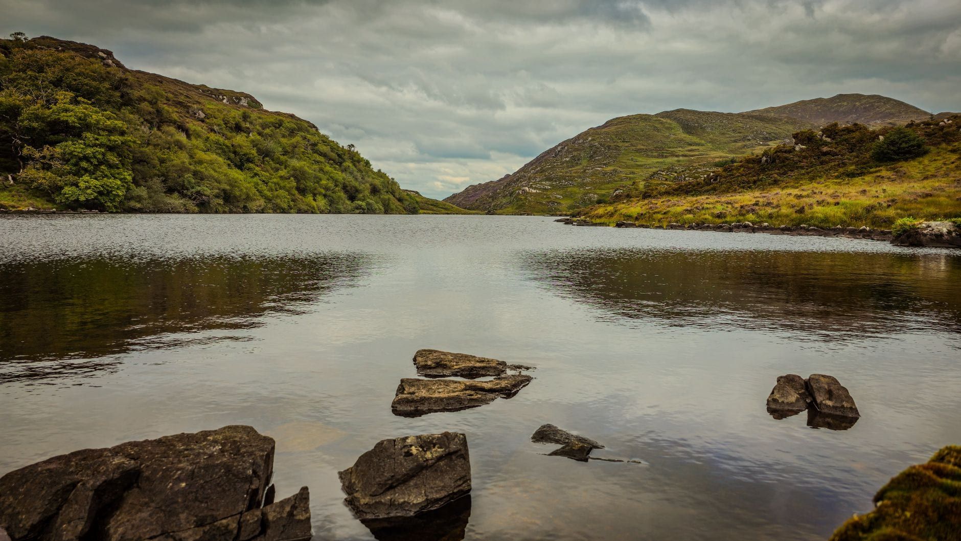
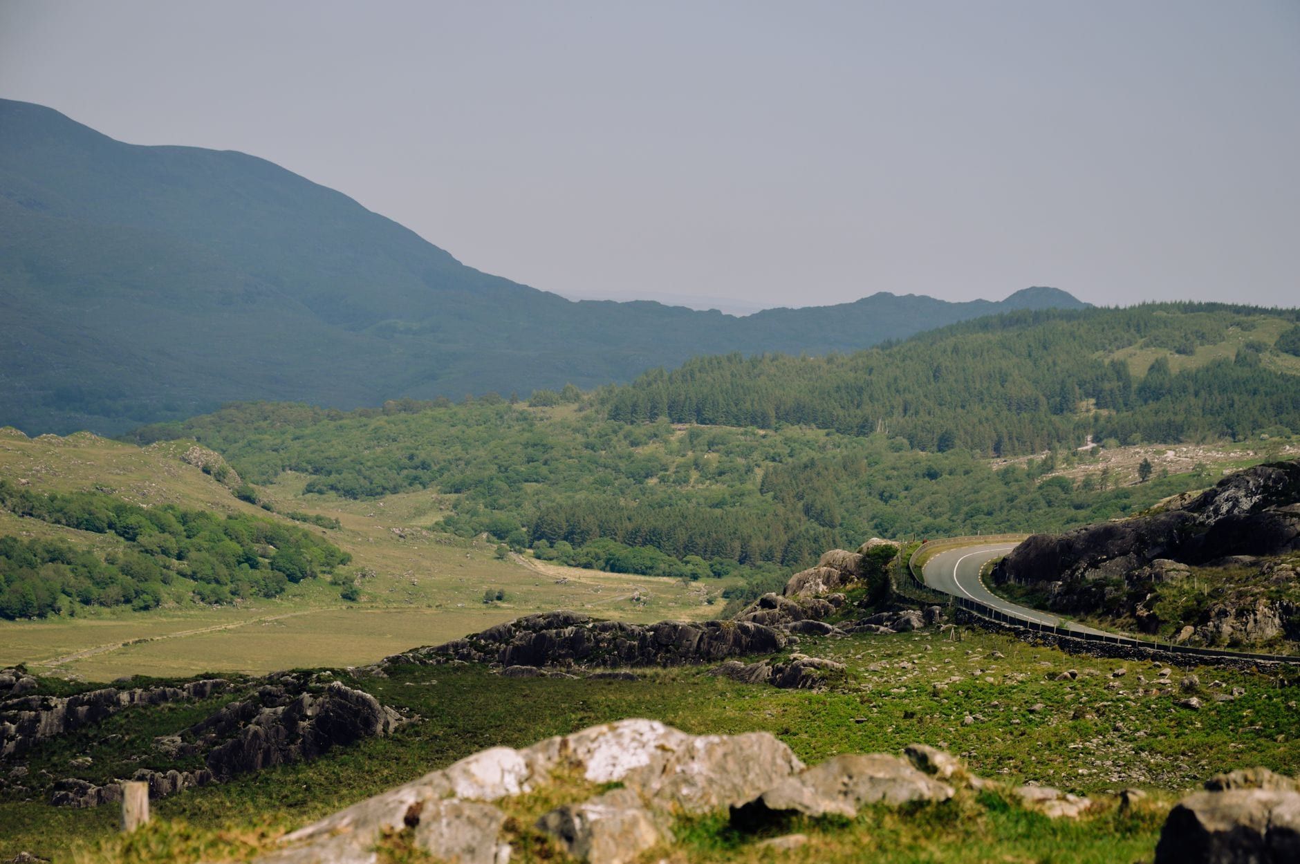
Killarney National Park packs three glacial lakes, a slice of the MacGillycuddy's Reeks and Ireland's largest native oakwood into one corner of County Kerry. That mix gives it more waymarked walking than almost any other Irish park, everything from a paved 2km stroll to a 14km mountain circuit with some scrambling. The trick is matching the trail to your legs, your day and Kerry's weather, which can flip from bright to driving rain in under an hour.
This guide sorts the park's hikes by difficulty, with real distances, times and elevation figures rather than vague labels. It also settles a question most Killarney guides fudge: the Gap of Dunloe and Carrauntoohil, Ireland's highest mountain, sit just outside the park's official boundary on different land with different rules. Know that before you plan your day.
Killarney National Park Hiking at a Glance
Killarney National Park opened in 1932 as the Bourn Vincent Memorial Park, Ireland's first national park, after the Muckross Estate was donated to the state. It now covers over 10,000 hectares (25,425 acres) of mountain, bog, and oak and yew woodland wrapped around three linked lakes, Lough Leane, Muckross (Middle) Lake and the Upper Lake, with the MacGillycuddy's Reeks rising behind them. For the fuller history and layout, our park overview covers the estate's origins and main sights.
Getting in costs nothing. The park is free to enter, parking at the main trailheads is free, and pedestrian access runs 24 hours a day, every day of the year, with details on any seasonal exceptions for individual buildings on our hours and fees page. Roughly 1.5 million people visit annually, and most stick to the short loops around Muckross. Get twenty minutes past the main car parks on foot and the crowds thin fast.
Official trail boards around the park rate routes easy, moderate or strenuous based on distance, surface and climb, and that's the same three-tier split this guide uses below. The table gives you the shortlist; the sections that follow go into what each trail actually feels like underfoot.
| Trail | Distance | Time | Difficulty | Best for |
|---|---|---|---|---|
| Knockreer Circular | 5km | ~2 hours | Easy | First-time visitors, no car needed |
| Muckross House & Torc Waterfall Loop | 6.3km | 1.5-2 hours | Easy | Families, first stop in the park |
| Torc Mountain (standard route) | 7-8.7km | 2-4 hours | Moderate | One summit, no scrambling |
| Tomies Wood & Lough Leane | 7km | ~3 hours | Moderate | Waterfalls, deer and eagles |
| Mangerton & Devil's Punchbowl | 10-14km | 5-7 hours | Strenuous | Full-day solitude |
| Old Kenmare Road (Torc to Incheens) | 7km one-way | 2-3 hours | Strenuous | Kerry Way hikers |
Easy Lakeside & Woodland Walks (Under 2 Hours)
These are the routes for a first afternoon in the park, a family day out, or anyone short on time who still wants lake views and old woodland. All run on made paths with modest or no climbing.
Knockreer Circular Walk
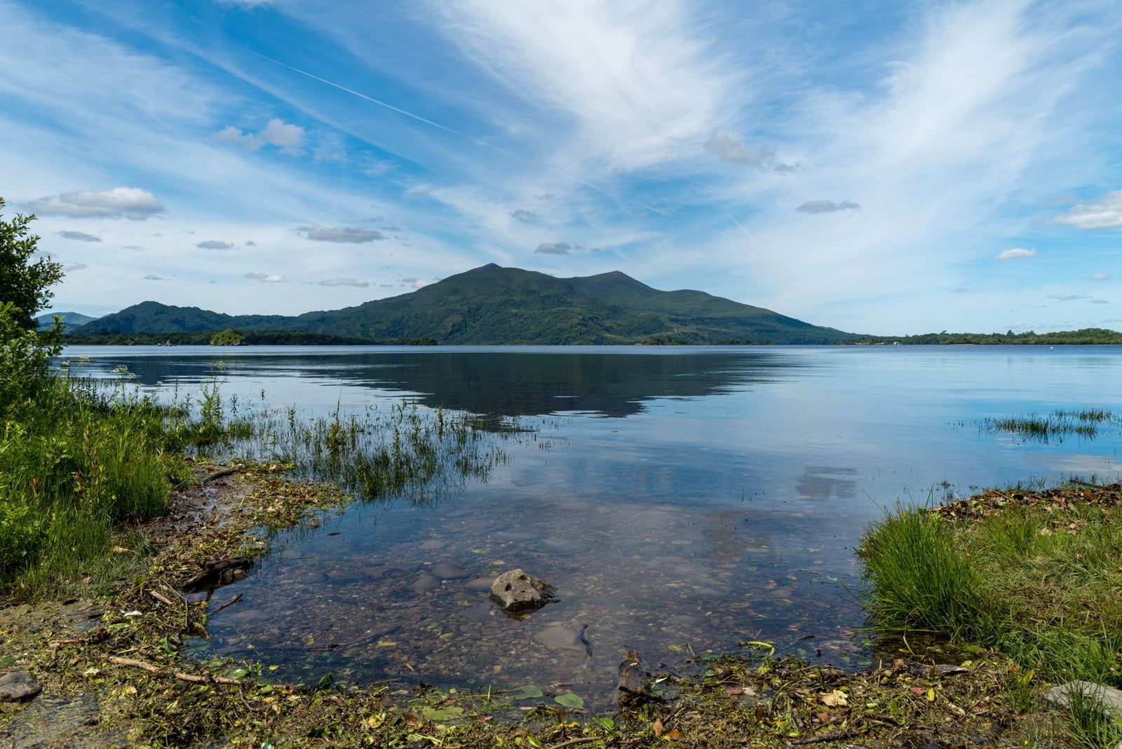
This 5km loop starts behind Killarney House, right on the edge of town, and takes about two hours on a paved path with only 45 metres of climbing. It opens onto Lough Leane almost immediately, with the Reeks filling the skyline across the water, then loops back through parkland grazed by the estate's cattle. It's the easiest way to get a proper park view without a car.
Muckross House and Torc Waterfall Loop
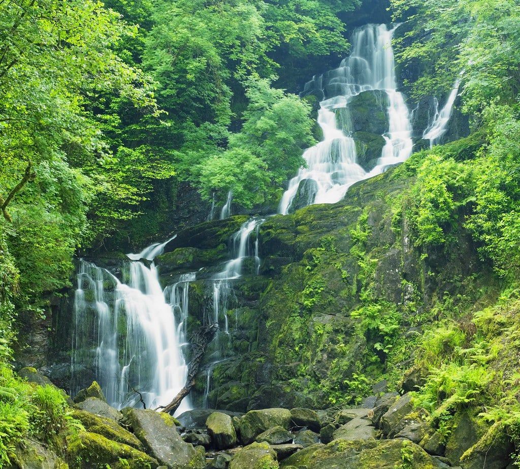
The park's busiest walk links Muckross House to Torc Waterfall in about 6.3km and 1.5-2 hours, with barely any elevation gain. It runs along the Muckross Lake shore before climbing gently to the base of the waterfall, a 20-metre cascade that's the park's most photographed spot. A shorter branch, the Old Boathouse Trail, peels off along the lakeshore itself for anyone who'd rather skip the road walking altogether.
Ross Island Mining Trail
Starting near Ross Castle, this 2-3km loop takes about ninety minutes and passes the remains of Ireland's earliest known copper mines, worked in the Bronze Age. The path threads through oak woodland along the Lough Leane shoreline before circling back to the castle car park. Combine it with a look around the castle grounds and you've got a half day without moving the car.
Cloghereen Guided Nature Trail and Accessibility
Near Muckross, the Cloghereen trail was Ireland's first nature trail designed specifically for visually impaired visitors, laid out with a guide rope so walkers can follow it by touch. It's flat, short and a good marker of how accessible this end of the park is generally. The paths around Muckross House, the lower Torc Waterfall approach and the lakeshore are manageable for wheelchairs and buggies, though reaching the trailheads still means a car, taxi or bike, since no public bus route into the park is wheelchair-accessible.
Moderate Trails: Torc Mountain, Muckross Lake & Tomies Wood
Step up from the lakeshore and you're into half-day territory: two to four hours, real climbing, and views that go beyond the trees.
Torc Mountain
Torc Mountain is the park's signature summit hike: 535 metres, reached by a boardwalk and stone-stepped path that switches back up the mountain's flank. From the lower Torc Waterfall car park it's a round trip of roughly 7-8.7km and 3.5-4 hours. Start instead from the Upper Torc car park on the N71 and you'll cut the climb to under 350 vertical metres, finishing in under two and a half hours. From the top, all three Lakes of Killarney and the Reeks spread out below.
The steep, direct alternative is the Cardiac Steps, a set of stone steps cut straight up the hillside from the lower car park, shortcutting the switchbacks at the cost of your quads. It's a legitimate way up if you're fit and want the workout, but the graded boardwalk route is kinder on the knees coming back down. Either way, boots with grip matter, since the steps get slick in rain, which in Kerry is often.
Tomies Wood and Lough Leane
This roughly 7km loop climbs about 268 metres through Tomies Wood, one of the park's oldest oak stands, and passes O'Sullivan's Cascade, a multi-tiered waterfall tucked into the trees. It runs along the lower slopes of Tomies Mountain above Lough Leane, prime ground for spotting red deer at dawn and white-tailed eagles overhead. Figure three hours, more if you linger at the cascade.
Muckross Lake Loop and Dinis Cottage
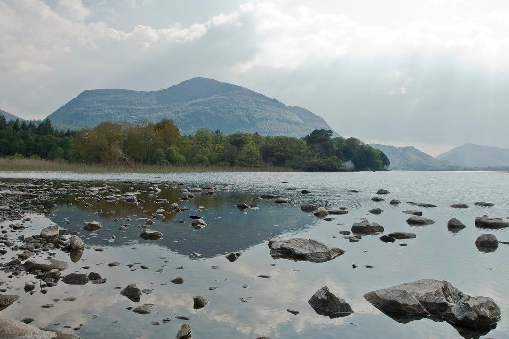
The full circuit of Muckross Lake, taking in Dinis Cottage, the Meeting of the Waters, the Old Weir Bridge and Muckross Abbey, runs to about 17km and is a full day's walk. Most people do the shorter 6km version instead, out to Dinis Cottage and back along the lake, covering the same highlights in about two and a half hours. For how the three lakes connect and where the boat crossings run, see our guide to the Lakes of Killarney.
Challenging Hikes: Mangerton, Old Kenmare Road & the Mass Path
Beyond half a day, the park's routes turn into proper mountain days: longer, higher and a lot quieter.
Mangerton Mountain and Devil's Punchbowl
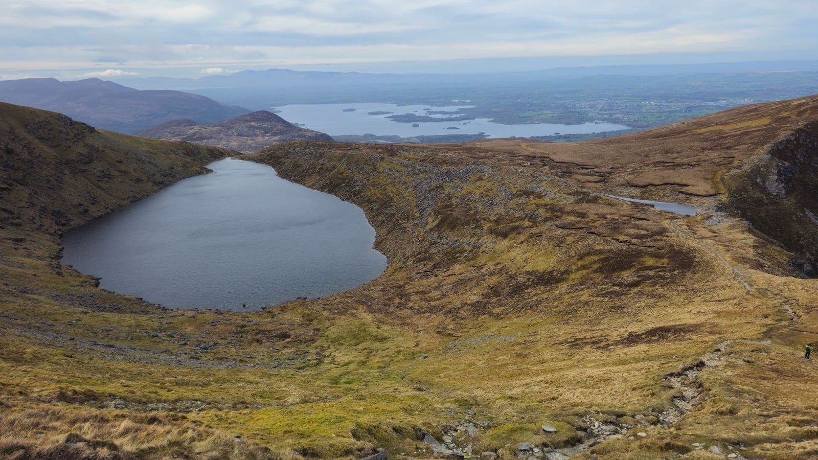
Mangerton is Ireland's tenth highest mountain at 839 metres, and the loop past the Devil's Punchbowl and three smaller mountain lakes runs 10-14km and takes 5-7 hours, with some scrambling near the rim. The Punchbowl itself is a corrie lake filling an old glacial bowl below the summit, dramatic enough to justify the climb on its own. Go early and tell someone your route, since cloud can drop fast up here and there's little shelter.
Old Kenmare Road
This is an official NPWS route rated strenuous, running 7km from the Upper Torc car park to Incheens along an old droving road that now forms part of the Kerry Way. Keep going and the same track continues all the way to Kenmare, a linear route of up to 16km one-way, worth it only if you've arranged a lift or a second car at the far end. It's exposed, boggy in places, and one of the few park trails where you can walk an hour without seeing anyone else.
The Mass Path
This 4km one-way trail follows the route local Catholics once walked to worship at Derrycunnihy Church, ending at Lord Brandon's Cottage on the Upper Lake. It's rough underfoot and floods after heavy rain, so check conditions before setting out in winter. Rather than retracing their steps, most walkers arrange a boat back across the lakes to Ross Castle.
Beyond the Park Boundary: Gap of Dunloe & Carrauntoohil
Ask anyone in Killarney about hiking and the Gap of Dunloe and Carrauntoohil come up fast. Neither one is actually inside the national park. The Gap road is public, managed by Kerry County Council, and the MacGillycuddy's Reeks, including Carrauntoohil, sit on private and commonage land. That's a different access setup from the free, NPWS-managed park, worth knowing before you plan permits, dogs, or camping around either.
Gap of Dunloe
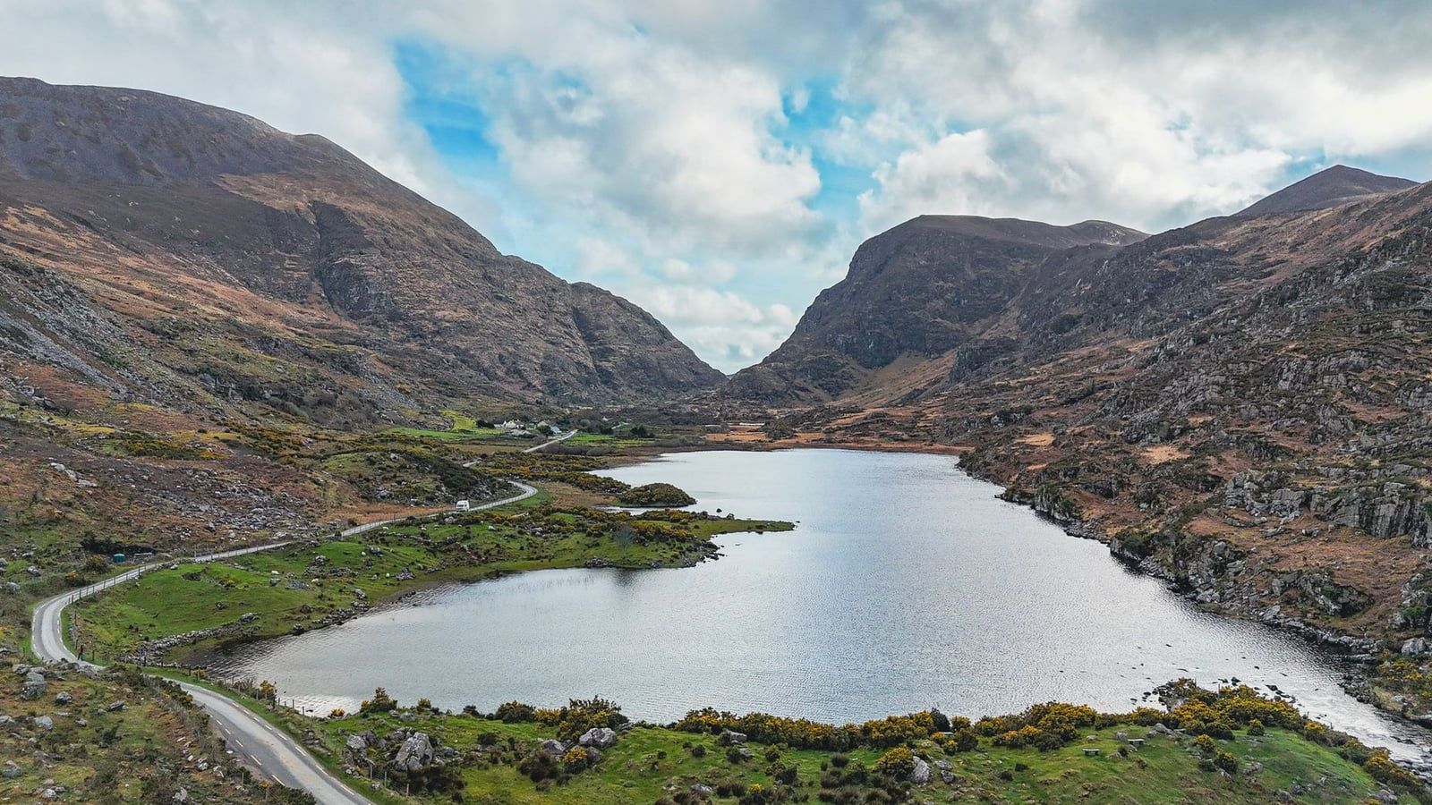
The classic linear walk runs 9-11km from Kate Kearney's Cottage to Lord Brandon's Cottage, 3-5 hours through a glacial valley threaded by five small lakes and framed by the Reeks on one side and Purple Mountain on the other. Free of cars but not of jaunting cars and cyclists, it gets busy by midday in summer, so an early start pays off. Many combine the walk with a boat back across the Upper Lake and Lough Leane to Ross Castle; our jaunting car tours cover the same valley for anyone who'd rather ride than walk it.
Carrauntoohil via Devil's Ladder
At 1,038 metres, Carrauntoohil is Ireland's highest peak, and the Devil's Ladder route from Cronin's Yard is short on paper, about 5.5km out-and-back and 3.5-4 hours, but serious in practice, with a loose, eroded gully near the top that's exposed in poor weather. This is a mountain for people with hillwalking experience and the right gear. If that's not you, admire it from Ladies View or the Gap road instead.
Purple Mountain and Black Valley
Purple Mountain rises on the far side of the Gap of Dunloe and is usually climbed as an extension of that walk, adding several hours and a proper ridge scramble for anyone already up for Carrauntoohil-level effort. The Black Valley, on the Gap's southern side, is quieter still, a scattering of farms and a hostel reached by minor road, popular with walkers linking the Gap to the Old Kenmare Road on a longer traverse.
| Killarney National Park trails | Gap of Dunloe & the Reeks | |
|---|---|---|
| Managed by | NPWS (National Parks and Wildlife Service) | Kerry County Council (road) / private and commonage owners |
| Access | Free, 24 hours, year-round | Public road, no set hours; private land access varies |
| Dogs | Permitted on lead at all times | No park-wide code; follow local signage |
| Highest point on route | Torc Mountain, 535m | Carrauntoohil, 1,038m (Ireland's highest) |
Planning Your Hike: Maps, Weather, Parking & What to Pack
The free leaflet from the Killarney National Park Visitor Centre is fine for finding Muckross House, but its own disclaimer admits the detail is too generalised for hillwalking. For Torc, Mangerton or anything on the Reeks, carry the OSI Adventure Series 1:25,000 Killarney sheet, an EastWest Mapping 1:20,000 sheet of the area, or the Harvey Superwalker XT30, all of which show contour lines and terrain detail the park leaflet skips.
Parking is free at every main trailhead, including Killarney House, Muckross House, Ross Castle, the Torc Waterfall car parks and Cronin's Yard for Carrauntoohil. The park asks visitors to leave the smaller Torc spaces free for those with limited mobility rather than parking there for a summit hike. For full driving routes and where each car park sits, see our directions page.
- Waterproof jacket and trousers, since Kerry rain doesn't wait for a forecast
- Sturdy, broken-in walking boots with grip for wet stone and boardwalk
- Water, snacks and a fully charged phone for anything over two hours
- Map and compass for Torc, Mangerton or Old Kenmare Road
- Extra warm layer, hat and gloves above 400-500m, even in summer
Weather changes fast once you're above the treeline, and a bright morning at Muckross can turn to driving rain on Mangerton's summit by noon. Check Met Éireann's forecast before any mountain route, not just the general Killarney outlook, and turn back if visibility drops. There's no shame in doing Torc again on a clearer day.
Midges show up on warm, still days near the lakes, and ticks are around if you leave the marked path, occasionally carrying Lyme disease, so check yourself after longer walks. Dogs are welcome on every official trail but must stay on a lead throughout, both for wildlife and for the red deer herd grazing near the woods. If something goes wrong inside the park, the duty ranger is reachable on +353 64 6635215 from 9am to 5pm; for mountain rescue, fire, police or ambulance, dial 999 or 112.
Choosing Your Trail: By Time, Fitness & Interest
Half a day and no car needed: Knockreer Circular or the Muckross House to Torc Waterfall loop cover the park's best lake views and its most famous waterfall inside two hours.
Want one summit without technical skill: Torc Mountain is the answer, especially from the Upper car park if you're short on time. It's the only Killarney peak most walkers can manage in trainers on a dry day, though boots are still the smarter call.
Traveling with kids: stick to the Muckross House circuit or the lower stretch of the Torc Waterfall path, both flat enough for a buggy and short enough that nobody melts down halfway. If little legs give out, a horse-drawn jaunting car or a boat trip covers the same ground without more walking; browse our full range of tours for options.
Want solitude and a full day: Mangerton Mountain or the Old Kenmare Road get you away from the Muckross crowds fast. Both routes can go an hour without another walker in sight, especially on a weekday.
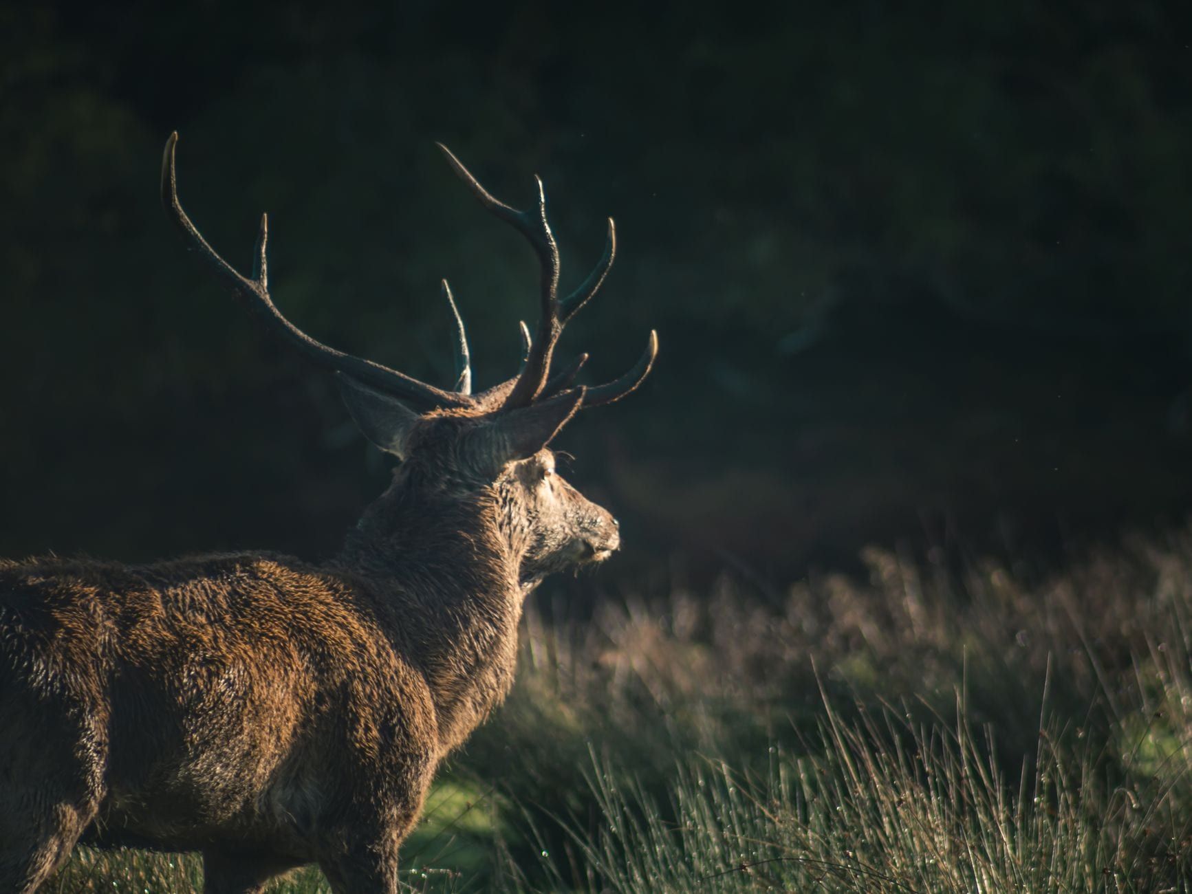
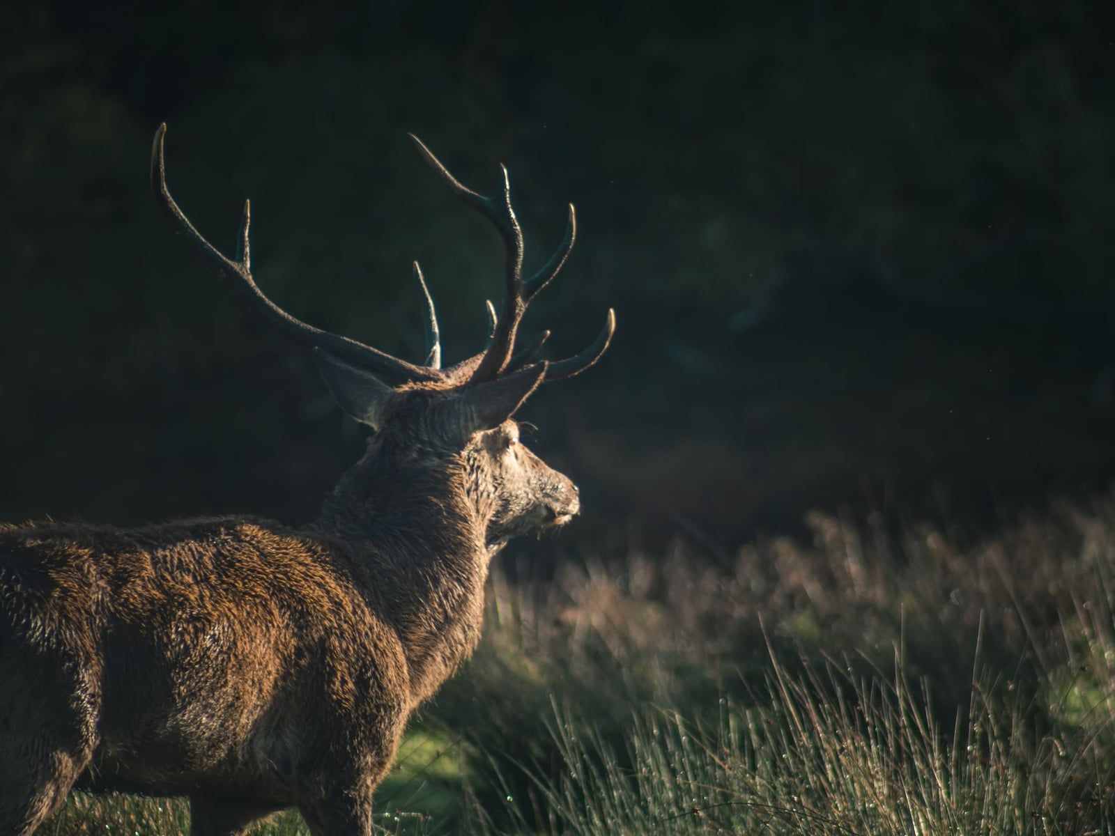
Wildlife and birdwatching focus: Killarney holds Ireland's only wild native red deer herd, around 900 animals, plus its largest remaining tract of native oakwood. Tomies Wood and Ross Island are the two most reliable spots for deer at dawn and dusk, and over 140 of Ireland's recorded bird species have turned up in the park, including white-tailed eagles around Lough Leane.
May to September brings the mildest weather and the longest daylight for a big mountain day, though July and August also bring the heaviest foot traffic on Muckross's paths. Late spring and autumn trade a little daylight for empty trails and better light; our autumn season guide covers what changes month to month. Combine a morning hike with an afternoon on the wider peninsula, and our Ring of Kerry tours fill the rest of the day.
Frequently asked questions
What is the best hike in Killarney National Park?
Torc Mountain is the best all-round choice: a 535m summit reached in 2-4 hours depending on your start point, with views over all three lakes and no technical climbing involved. For an easy option, the Muckross House to Torc Waterfall loop covers the park's signature sights in under two hours.
What is the hardest hike in or near Killarney?
Inside the park, Mangerton Mountain is toughest: 839m, 10-14km and 5-7 hours with some scrambling near the Devil's Punchbowl. Just outside the boundary, Carrauntoohil, Ireland's highest peak at 1,038m, via the Devil's Ladder is considerably harder and needs real hillwalking experience.
Is entry to Killarney National Park free?
Yes. Entry and parking are free, and pedestrian access runs 24 hours a day, year-round. The only charges inside the park are for heritage buildings like Muckross House, which costs around €9 for adults to visit the house alone.
Is the Gap of Dunloe inside Killarney National Park?
No. The Gap of Dunloe road is public and managed by Kerry County Council, and the MacGillycuddy's Reeks, including Carrauntoohil, sit on private and commonage land next to the park rather than inside it.
Are dogs allowed on Killarney National Park trails?
Yes, dogs are welcome on every official trail but must stay on a lead at all times, both to protect ground-nesting birds and the park's red deer herd.
How long does it take to hike Torc Mountain?
Budget 2-2.5 hours round trip from the Upper Torc car park, or 3.5-4 hours if you start from the lower Torc Waterfall car park, covering roughly 7-8.7km depending on the route.
What should I pack for a Killarney hike?
A waterproof jacket and trousers, sturdy boots, water and a charged phone cover any walk in the park. For Torc, Mangerton or the Old Kenmare Road, add a map, warm layers, and a hat and gloves, since conditions above 400-500m change fast.
How many days do I need to see Killarney National Park's hikes properly?
Two to three days lets you do it properly: one day for an easy lake or valley walk, a second for a summit like Torc or Mangerton, and a third to explore Muckross and the shorter official trails without rushing.